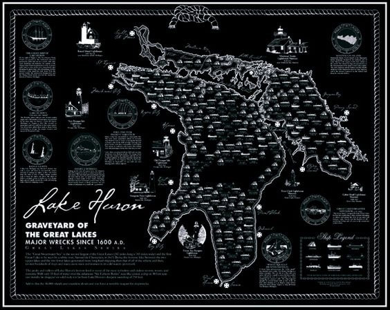
Shipwreck Charts
Fascinating and historically accurate shipwreck charts: one is for Lake Ontario and the other is for Lake Huron. “The Graveyard of the Great Lakes”: major wreck since the 1600s are listed. A double-ink printing technique is used to create the dark navy blue on cream paper: the result is a stunning, rich effect. For anyone interested in shipwreck, these charts offer the very best information regarding when, where and what. “Portholes of History” give insight, facts, and figures.
24" x 30" Shipped rolled in a tube. Price is per chart.
